radtouristiker · 21. Juli 2017 · 2 Min. Lesezeit
Oder-Neiße-Radweg
- Etappen
- 12
- Strecke
- 586 km
- Anstieg
- 2.024 m
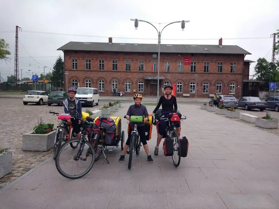
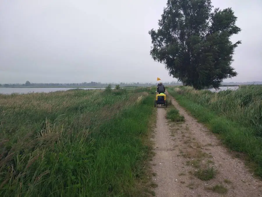
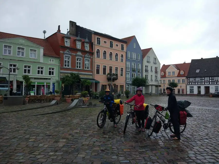
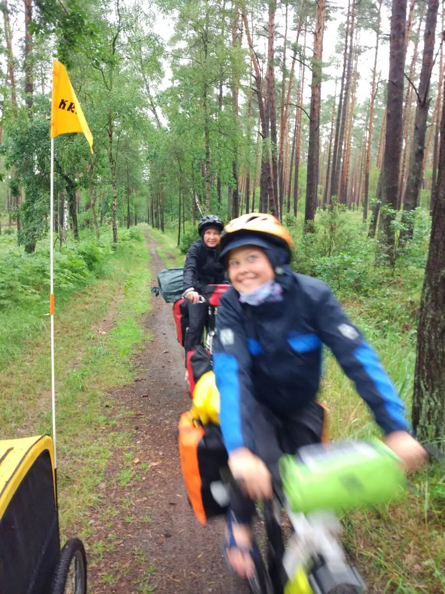
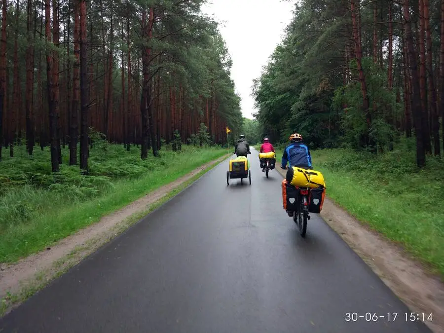
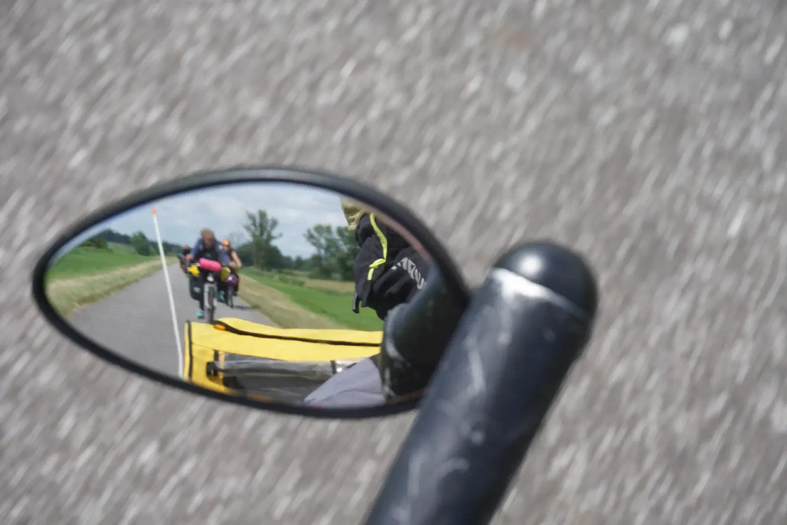
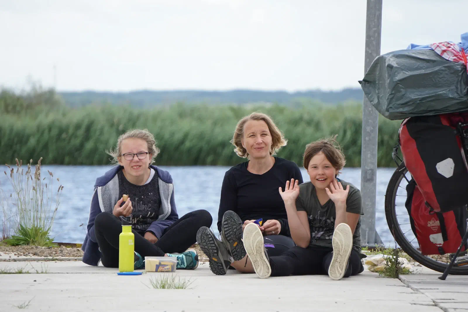
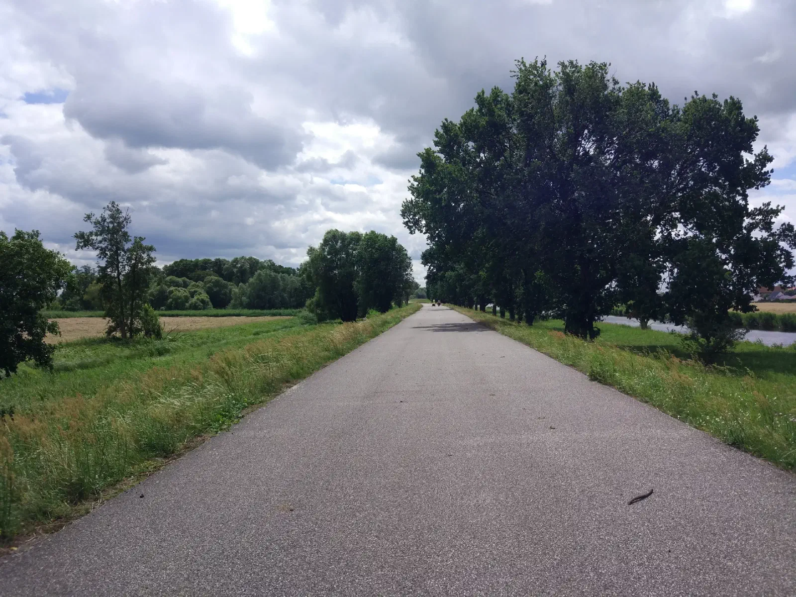
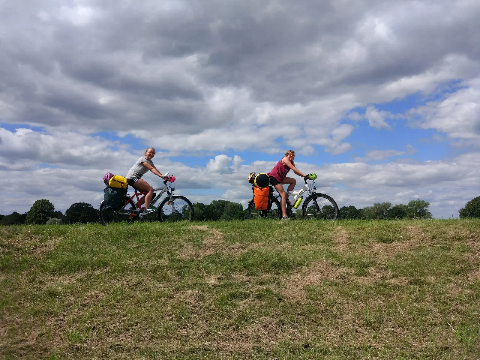
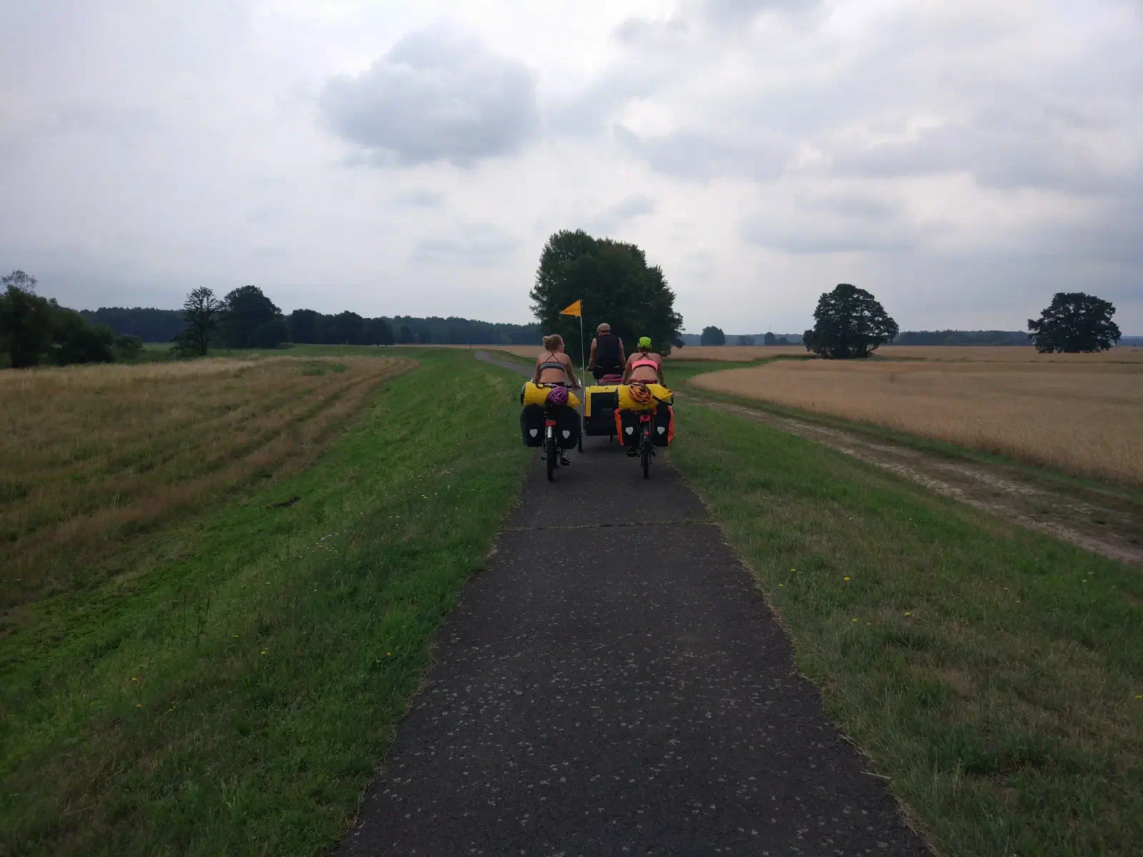
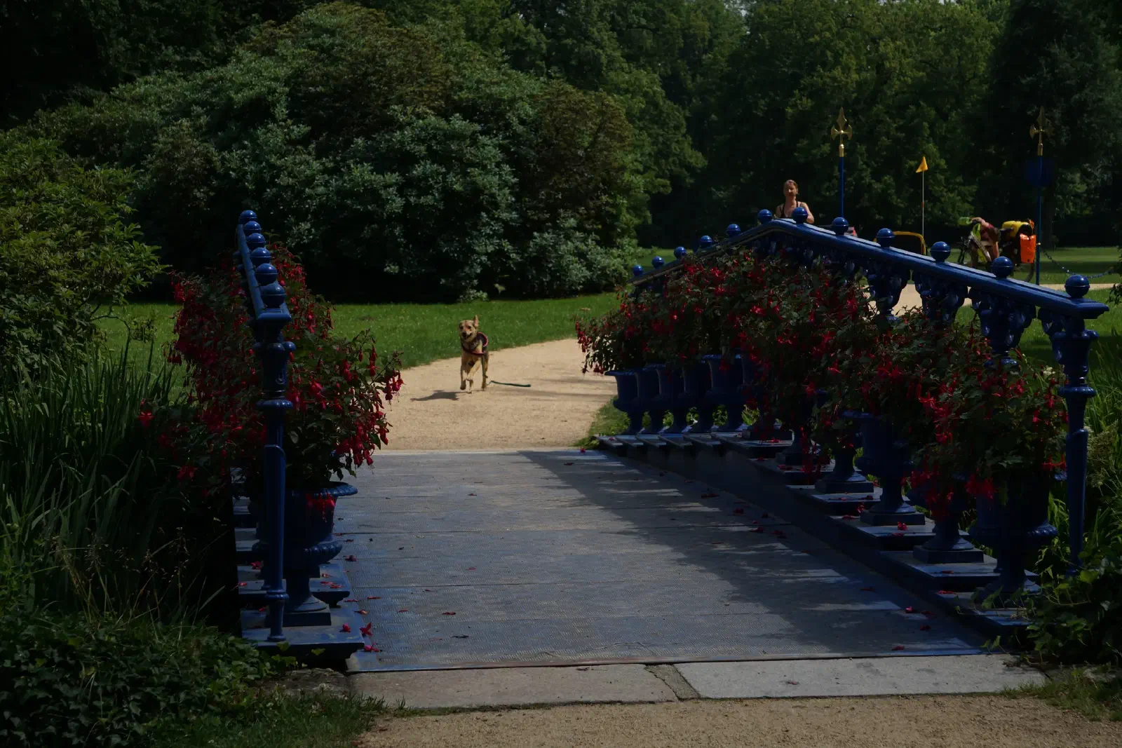
Im Sommer 2017 waren wir zu viert mit Hund im Anhänger auf dem Oder-Neiße-Radweg unterwegs, 585.90km von Anklam bis Rothenburg, dann noch zurück nach Dresden. Diese Reiserichtung wurde uns von einigen Radlern aufgrund der Hauptwindrichtung empfohlen – dieser Tipp hat sich ausgezahlt, wir hatten tatsächlich überwiegend Rückenwind :)
Etappe 1 : Anklam bis Mönkebude
Zeltplatz
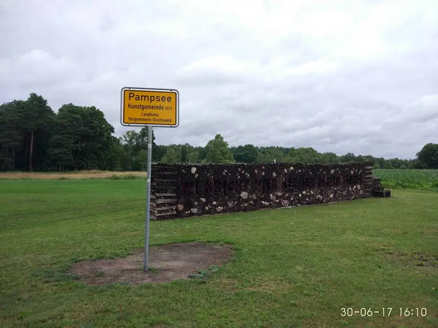
Etappe 2 : Mönkebude bis Löcknitz
Ferienwohnung
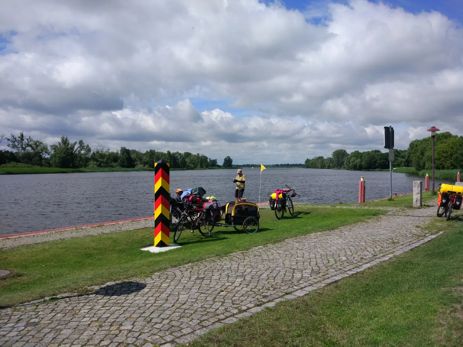
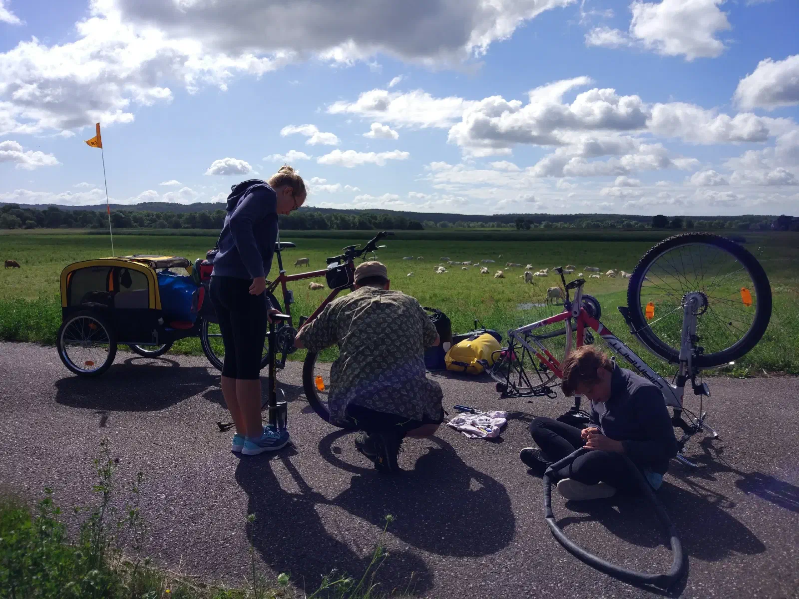
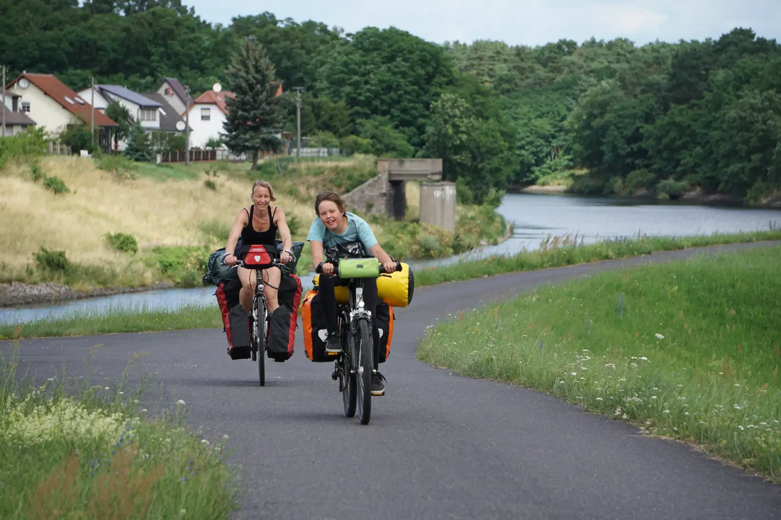
Etappe 3 : Löcknitz bis Mescherin
Zeltplatz
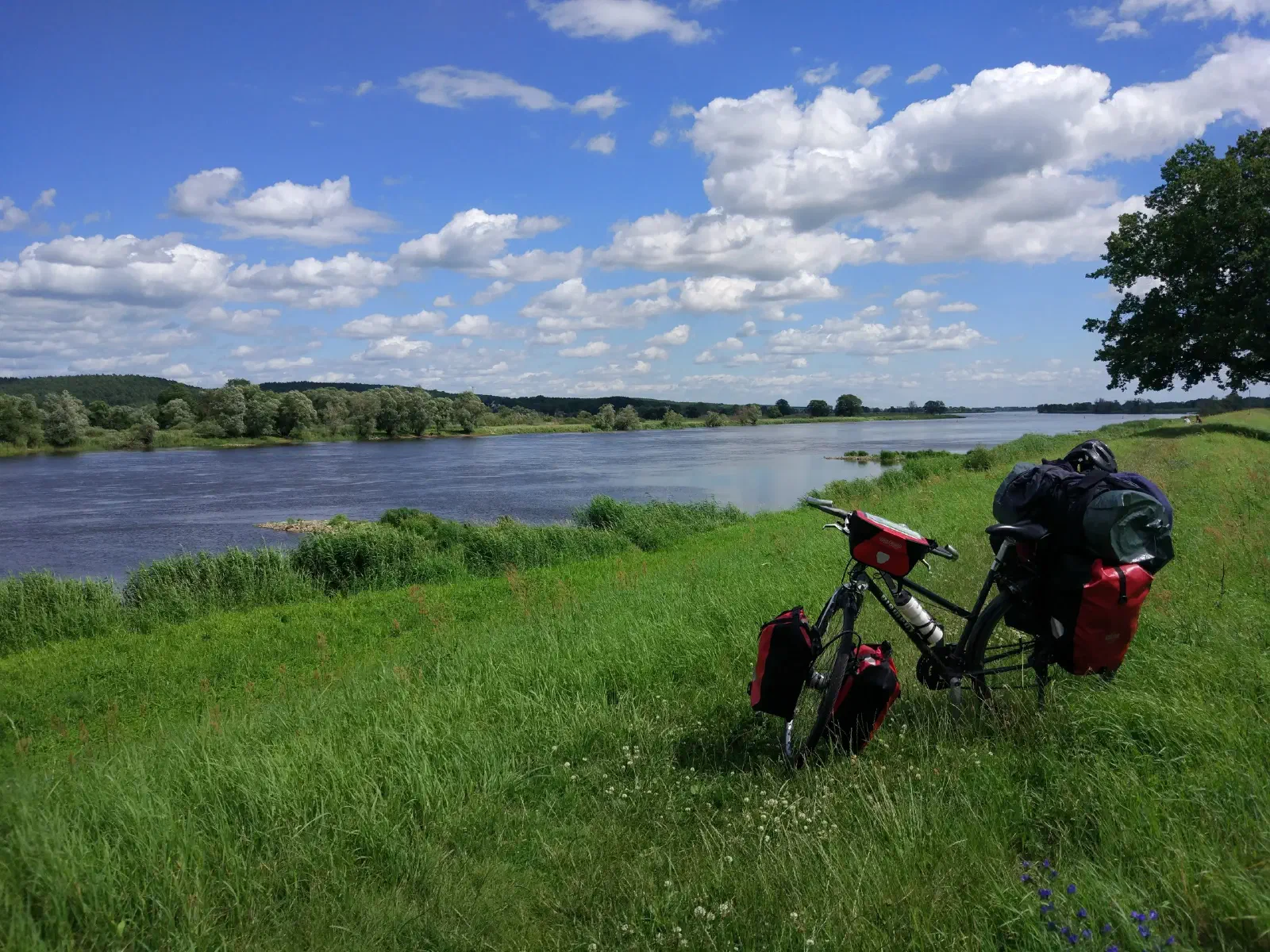
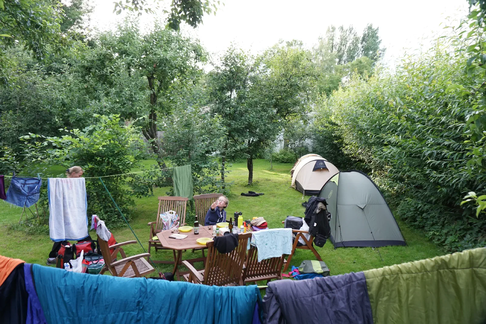
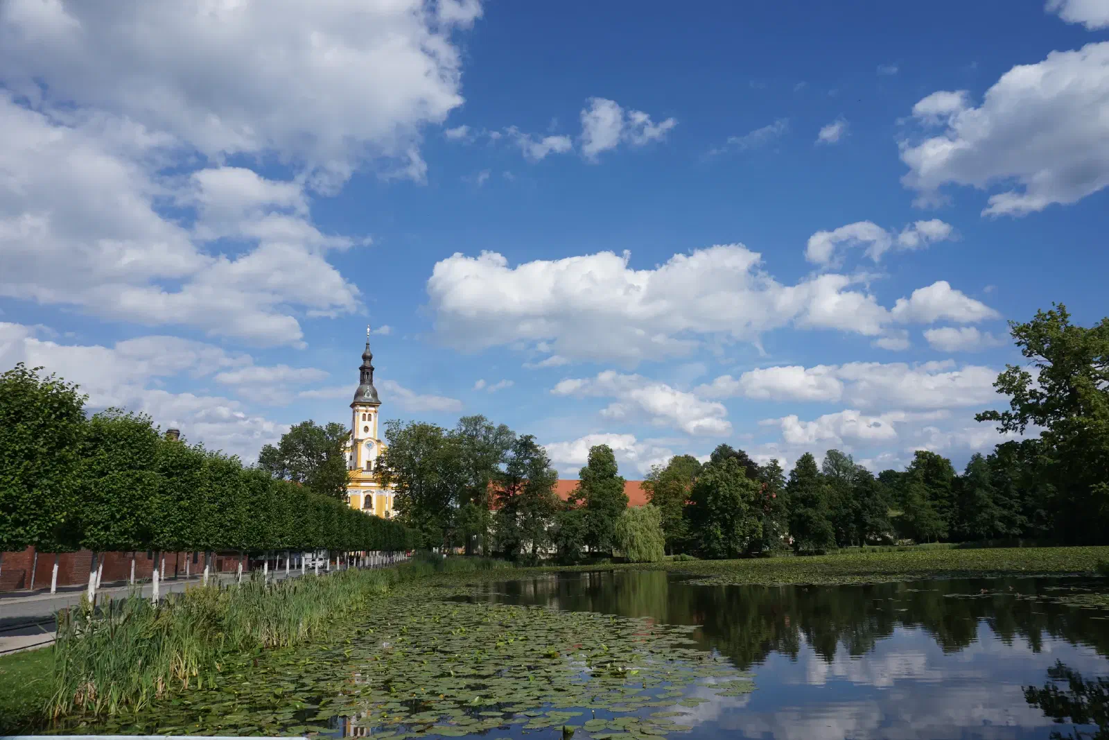
Etappe 4 : Mescherin bis Criewen
Pension
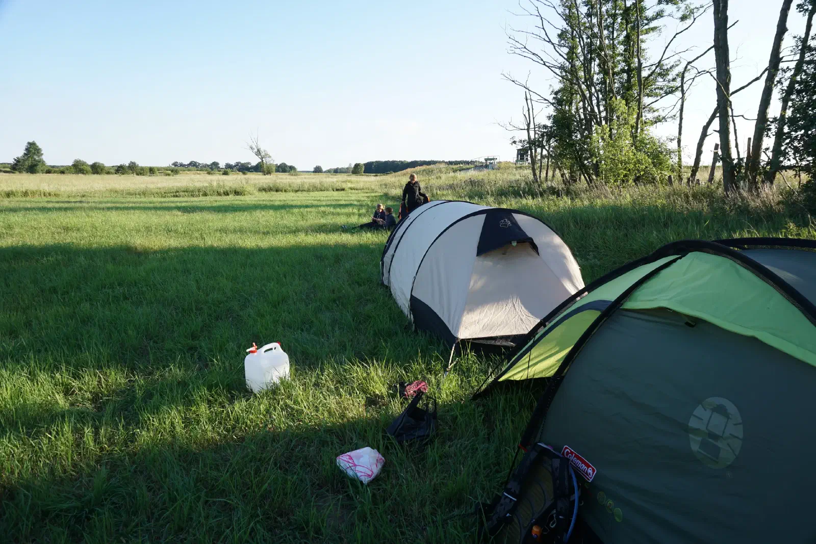

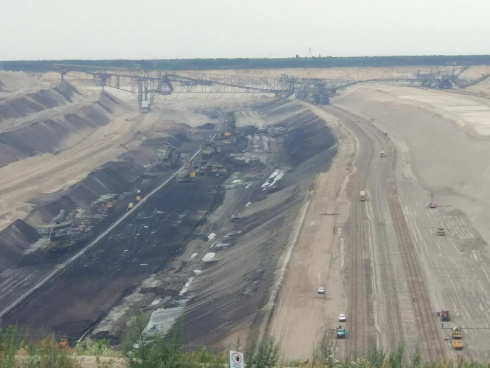
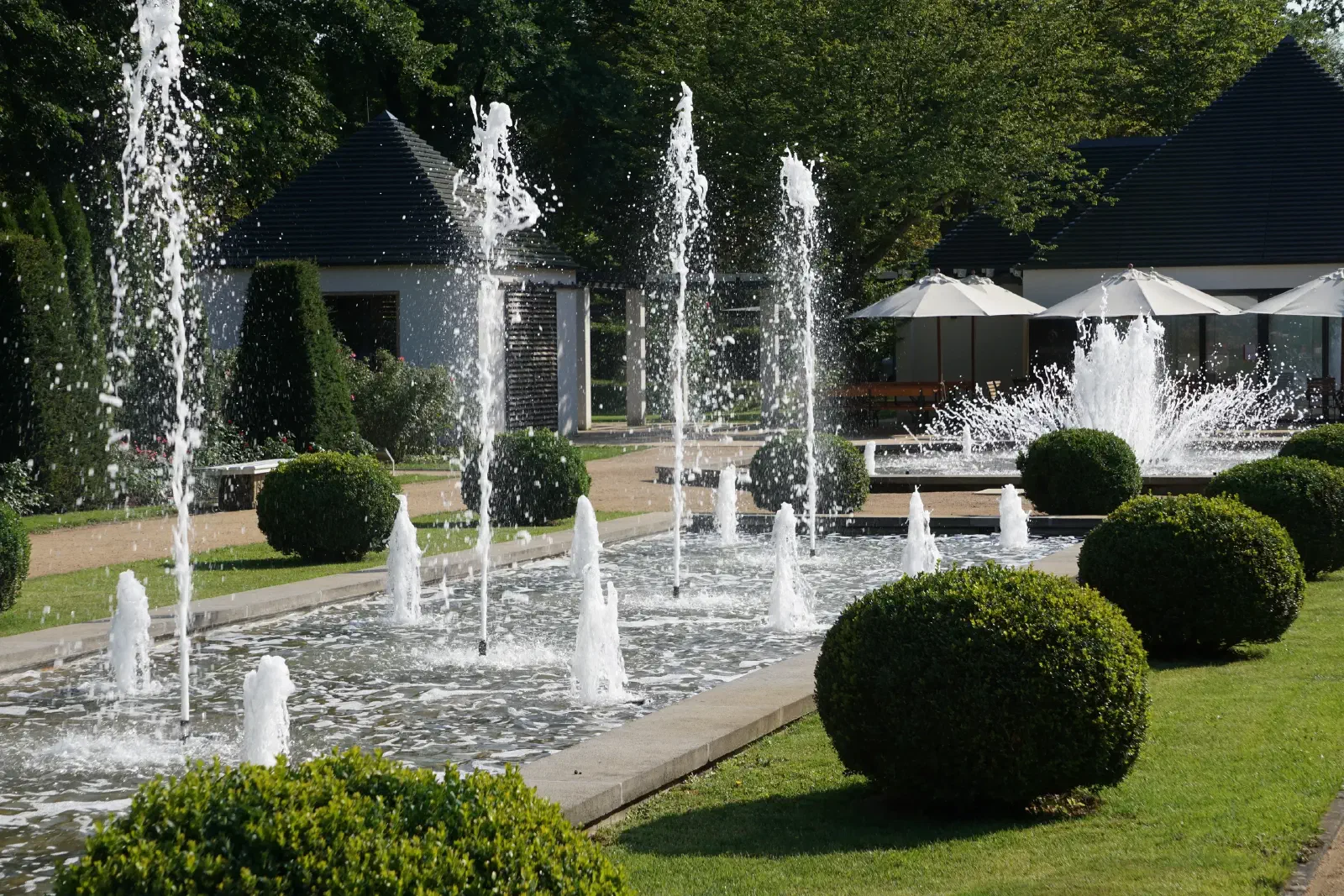
Etappe 5 : Criewen bis Kienitz
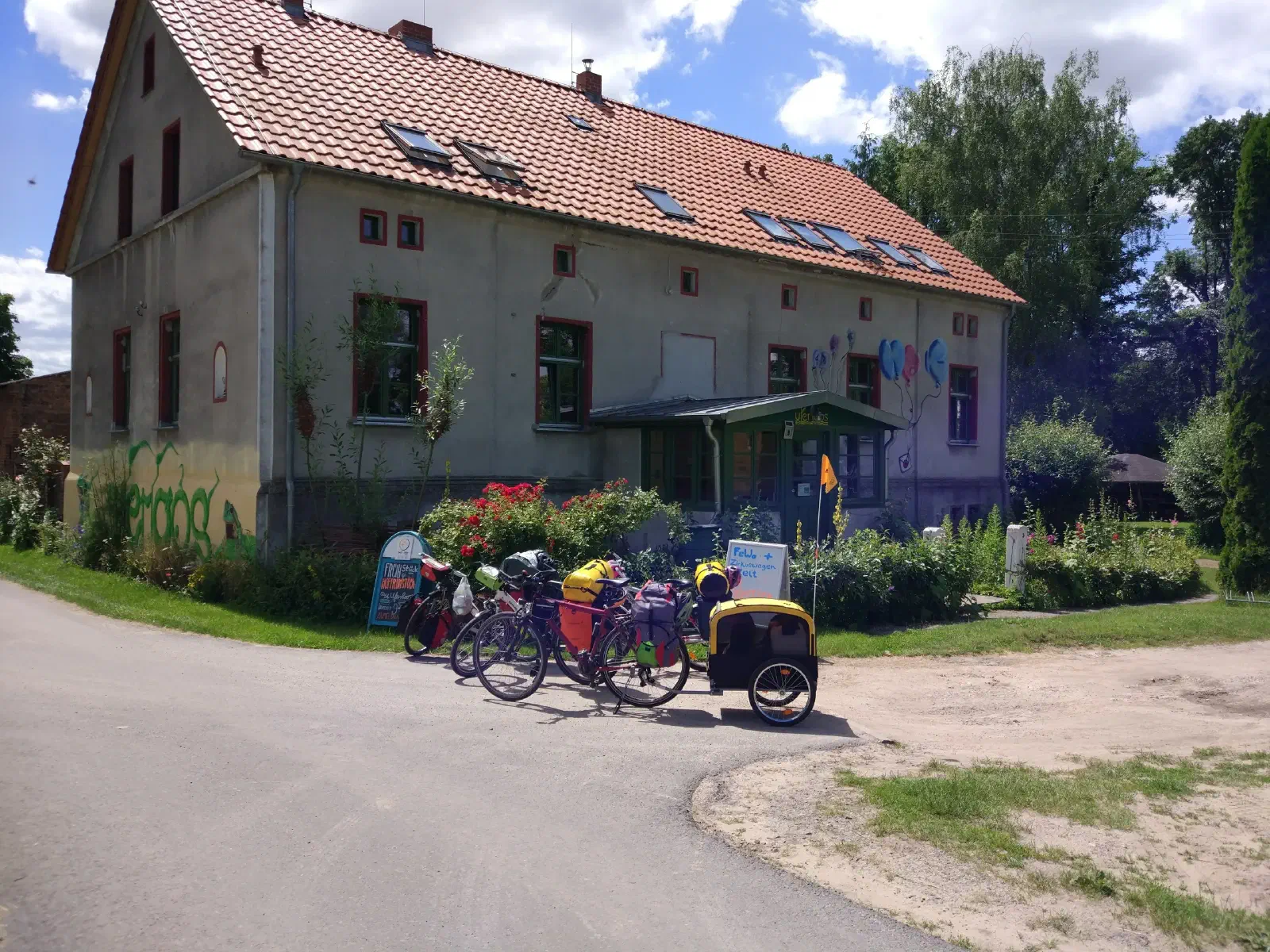
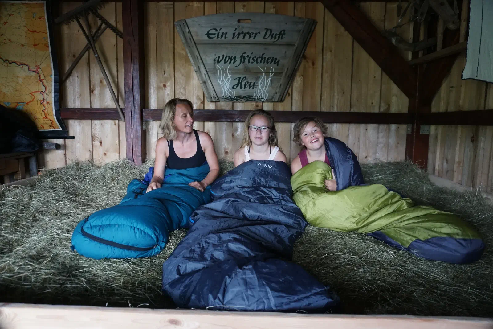
Zeltplatz Uferloos
Etappe 6 : Kienitz bis Lebus
Ferienhaus Müller
Ruhetag in Frankfurt Oder
Sadtrundgang
Etappe 7 : Lebus bis Neißemündung
Zeltplatz
Etappe 8 : Neißemündung bis Forst
Pension
Etappe 9 : Forst bis Sagar
Zeltplatz
Etappe 10 : Sagar bis Boxberg
Zeltplatz
Etappe 11 : Boxberg bis Dahlowitz
Zeltplatz
Etappe 12 :: Dahlowitz bis Dresden
Ankunft
GPX-Track
Beim Laden ruft dein Browser Kartenkacheln von Thunderforest ab, nach einem Wechsel der Ebene gegebenenfalls von OpenStreetMap. Dabei wird deine IP-Adresse übertragen.